
Utilizing drone imagery to classify swamp cover in Patra Tani Village, South Sumatra Province, Indonesia


นามธรรม
The initial step of successful land use is the selection of the appropriate location in line with the type or concentration of land exploration which requires land mapping. However, mapping activities undertaken in a territory with a comprehensively changing land cover, such as swamp ecosystems, requires considerable time and cost, which could make the work ineffective. Nevertheless, through technological developments, the land with changing ecosystem can be mapped easily using remote sensing systems and aerial photography by drones. The advantages of this technology are its effectiveness and efficiency in terms of time and cost.
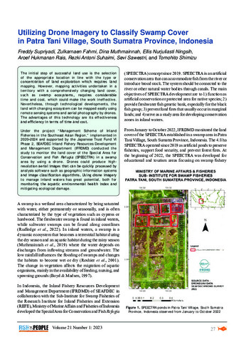
Under the project “Management Scheme of Inland Fisheries in the Southeast Asian Region,” implemented in 2020–2024 and supported by the Japanese Trust Fund VI Phase 2, SEAFDEC Inland Fishery Resources Development and Management Department (IFRDMD) conducted the study to monitor the land cover of the Special Area for Conservation and Fish Refugia (SPEECTRA) in a swamp area by using a drone. Drones could produce highresolution aerial images that can be quickly processed by analysis software such as geographic information systems and image classification algorithms. Using drone imagery to manage inland waters has great potential, both for monitoring the aquatic environmental health index and mitigating ecological damage.
การอ้างอิง
Supriyadi, F., Fahmi, Z., Muthmainnah, D., Ningsih, E. N., Rais, A. H., Suhaimi, R. A., Sawestri, S., & Shimizu, T. (2023). Utilizing drone imagery to classify swamp cover in Patra Tani Village, South Sumatra Province, Indonesia. Fish for the People , 21(1), 27-32. http://hdl.handle.net/20.500.14277/132
Type
magazineArticleคอลเลกชัน
- Fish for the People [13]