SEAFDEC/IFRDMDINSTITUTIONAL REPOSITORY
    • English
    • 日本語
    • ไทย
    • Bahasa Indonesia
  • Bahasa Indonesia 
    • English
    • 日本語
    • ไทย
    • Bahasa Indonesia
  • Masuk
Lihat Publikasi 
  •   Beranda
  • 03 SEAFDEC/IFRDMD External Publications
  • Magazine and Newsletter Articles by SEAFDEC/IFRDMD Staff
  • Fish for the People
  • Lihat Publikasi
  •   Beranda
  • 03 SEAFDEC/IFRDMD External Publications
  • Magazine and Newsletter Articles by SEAFDEC/IFRDMD Staff
  • Fish for the People
  • Lihat Publikasi
JavaScript is disabled for your browser. Some features of this site may not work without it.

Utilizing drone imagery to classify swamp cover in Patra Tani Village, South Sumatra Province, Indonesia
Thumbnail
View/Open
SP21-1-Utilizing Drone.pdf (845.0Kb)
Date
2023-07
Author
Supriyadi, Freddy
Fahmi, Zulkarnaen
Muthmainnah, Dina ORCID
Ningsih, Ellis Nurjuliasti
Rais, Aroef Hukmanan
Suhaimi, Rezki Antoni
Sawestri, Sevi ORCID
Shimizu, Tomohito
Subject
drone ASFA
imagery ASFA
swamp ASFA
land cover ASFA
monitoring ASFA
cameras ASFA
technology ASFA
Special Area for Conservation and Fish Refugia (SPEECTRA)
Indonesia
Metadata
Perlihat publikasi penuh

Abstract
The initial step of successful land use is the selection of the appropriate location in line with the type or concentration of land exploration which requires land mapping. However, mapping activities undertaken in a territory with a comprehensively changing land cover, such as swamp ecosystems, requires considerable time and cost, which could make the work ineffective. Nevertheless, through technological developments, the land with changing ecosystem can be mapped easily using remote sensing systems and aerial photography by drones. The advantages of this technology are its effectiveness and efficiency in terms of time and cost.

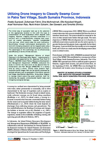
Under the project “Management Scheme of Inland Fisheries in the Southeast Asian Region,” implemented in 2020–2024 and supported by the Japanese Trust Fund VI Phase 2, SEAFDEC Inland Fishery Resources Development and Management Department (IFRDMD) conducted the study to monitor the land cover of the Special Area for Conservation and Fish Refugia (SPEECTRA) in a swamp area by using a drone. Drones could produce highresolution aerial images that can be quickly processed by analysis software such as geographic information systems and image classification algorithms. Using drone imagery to manage inland waters has great potential, both for monitoring the aquatic environmental health index and mitigating ecological damage.
URI
http://hdl.handle.net/20.500.14277/132
Suggested Citation
Supriyadi, F., Fahmi, Z., Muthmainnah, D., Ningsih, E. N., Rais, A. H., Suhaimi, R. A., Sawestri, S., & Shimizu, T. (2023). Utilizing drone imagery to classify swamp cover in Patra Tani Village, South Sumatra Province, Indonesia. Fish for the People, 21(1), 27-32. http://hdl.handle.net/20.500.14277/132
Type
magazineArticle
Koleksi
  • Fish for the People [13]

© SEAFDEC/IFRDMD 2026
Contact Us | Send Feedback


Lihat

Semua PublikasiKomunitas & KoleksiTanggal terbitPengarangJudulSubjekKoleksi iniTanggal terbitPengarangJudulSubjek

Akunku

MasukDaftar

Statistics

View Usage Statistics

© SEAFDEC/IFRDMD 2026
Contact Us | Send Feedback


PENOLAKAN LINK EKSTERNAL

Tautan ini disediakan sebagai kemudahan dan hanya untuk tujuan informasi. SEAFDEC/IFRDMD tidak bertanggung jawab atas keakuratan, legalitas, atau konten situs eksternal atau tautan berikutnya. Hubungi situs eksternal untuk jawaban atas pertanyaan tentang kontennya.

Jika Anda menemukan tautan eksternal yang tidak berfungsi, kami akan berterima kasih jika Anda dapat melaporkannya ke administrator repositori.

Klik UNDUH untuk membuka/melihat file.

Unduh